
“In early minutes of disaster, our early warning system sent millions of SMS and downstream community did receive localized warnings, but it wasn’t enough.” Nepal’s Foreign Minister Shisir Khanal said this at a side event on early warnings at the 31st United Nations Climate Change Conference (COP31) in Antalya, Türkiye, this week. The day before, Nepal had learned that its push to put the Himalaya on the formal COP31 agenda had stalled.
Both stories come back to one idea the Nepali government has been taking around the world since September: Sagarmatha to the Sea. Sagarmatha is the Nepali name for Mount Everest. The campaign says the ice melting in the Himalaya and the sea rising around small island states are the same crisis. It uses the flood that hit northern Nepal on 26 August as its sharpest example.
Sympathy is easy to give. Money for the Himalaya is not. If the August images have made you hesitate about a trip to Nepal, this article explains what Nepal is asking the world for, how it plans to warn people faster next time and why the places most visitors come for were never in the flood’s path. It also explains what you can do to help.
What is Sagarmatha to the Sea?
Nepal launched the campaign on 25 September 2026 at United Nations (UN) headquarters in New York, during the UN General Assembly. It co-hosted the event with Bhutan, the Maldives, New Zealand, Samoa and Tajikistan: mountain countries and island countries side by side. The UN Environment Programme (UNEP) and the UN Economic and Social Commission for Asia and the Pacific (ESCAP) took part. In early October Khanal took the same message to Pacific island leaders in Fiji ahead of COP31.
The argument is simple. Glaciers in the Himalaya feed the rivers that supply water to a huge share of Asia. When they shrink, the water ends up in the ocean. According to Khanal, Nepal has lost close to a third of its ice in the last three decades. “From Sagarmatha to the sea, we are facing the same crisis,” he told the island states.
Nepal’s point is that mountain countries get little attention in climate talks compared with coastal and island nations. Mountains cover about 27% of the world’s land, are home to about 15% of its people and provide fresh water to nearly a third of humanity. Linking the Himalaya to the islands gives Nepal a much larger group of allies.
What Nepal asked for at COP31 this week
COP31 opened in Antalya on 9 November and runs until 20 November. In his opening speech Khanal said Nepal had come “in search of climate justice“. Together with Bhutan, Nepal asked for a formal agenda item called “1.5°C Warming in Mountains”. Kyrgyzstan asked for a yearly dialogue on mountains and climate change. Their wider demands:
- keep global warming to 1.5°C, because the Himalaya is warming faster than the global average
- a dedicated UN work programme on mountains and climate change
- mountain-specific targets in the global goals for adaptation and climate finance
- climate money as grants rather than loans, with simpler access for poor countries
- a Loss and Damage Fund with enough money in it to pay out after disasters like August’s
On 11 November it became clear the agenda item would not happen. Some countries backed it but the large negotiating blocs did not. The COP31 presidency agreed to keep consulting on mountains, with research dialogues planned at the UN climate meetings in Bonn in 2027 and 2028. Khanal said progress so far “remained insufficient“.
What happened in August and where
At 8:37 in the morning on 26 August a slab of rock and glacier ice broke off the north face of Langtang Lirung and crashed into the Lhende Khola, a small river that meets the Bhote Koshi at the Rasuwagadhi border crossing with Tibet. The International Centre for Integrated Mountain Development (ICIMOD), which is based in Kathmandu, called it “a tsunami from the sky“. The flood tore down the Bhote Koshi and Trishuli valleys through Rasuwa, Nuwakot and Dhading districts. At COP31 Khanal put the toll at more than 1,400 dead and over 5,000 still missing. It is one of the worst disasters in Nepal’s recent history.
The people it hit were mostly the ones living and working in that corridor: villagers along the riverbanks, shopkeepers, drivers and hydropower workers. Most of the foreign travellers on the missing lists were passing through on their way to Tibet. Rasuwagadhi is the main overland route to Mount Kailash and Lake Mansarovar in Tibet, one of the great pilgrimages of Asia. Indian nationals were the largest group on the Nepal Tourism Board’s list of missing tourists.
Kathmandu, Pokhara and Chitwan were never in its path
Most people who come to Nepal for a holiday spend time in the Kathmandu Valley, go on to Pokhara and Chitwan and add a trek in the Annapurna or Everest regions. None of those places was in the flood zone. The water did not reach the Kathmandu Valley. Pokhara, the Annapurna treks and the Everest region are in other valleys, far from the Bhote Koshi. Sauraha, the base for Chitwan safaris, sits on the Rapti River rather than the Trishuli. Lodges there lost business in the weeks after the flood, but because of the coverage, not the water.
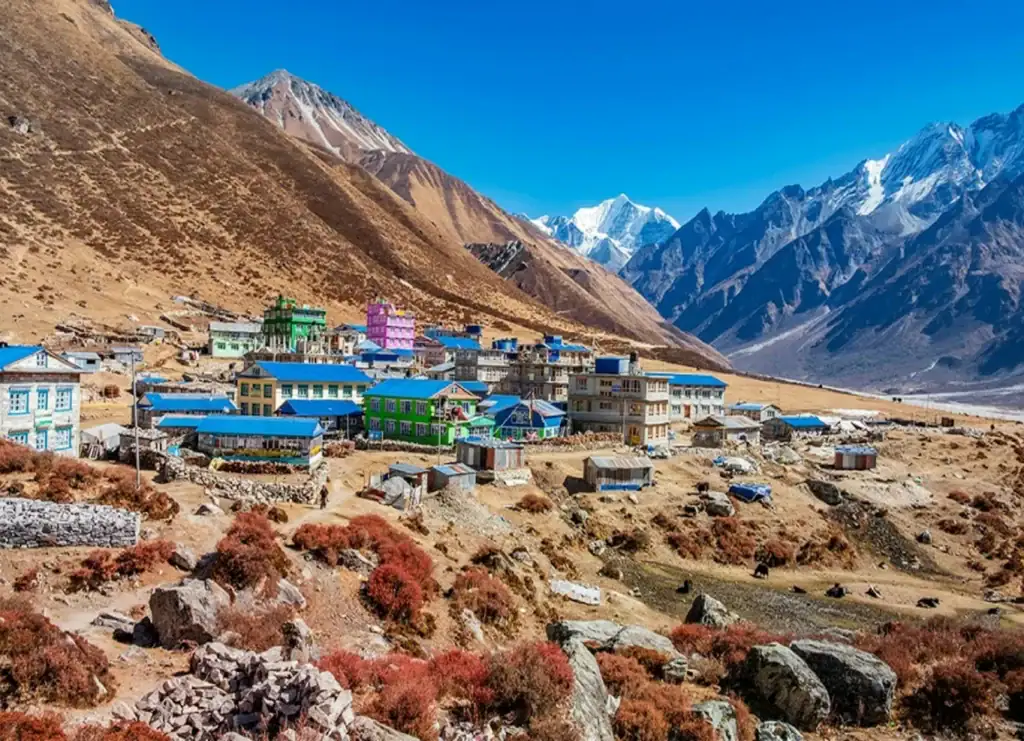
The trekking area that was affected is Langtang, right next to the collapse. Trails were damaged and routes had to change. Our article on the reopened Langtang trek and its new route has the details.
Why the warning came too late
The river gauge at Syabrubesi was swept away at 8:50. The Department of Hydrology and Meteorology (DHM) heard about the flood at around 9:00 from a phone call by a local official. Its first text message (SMS) alert went out at 9:15, 38 minutes after the collapse, to 679,295 people in Rasuwa, Nuwakot, Dhading and Chitwan. At the border the water had arrived about seven minutes after the collapse.
Further downstream the warnings did save lives. In Bidur, Nuwakot, a head teacher who received phone calls at around 9:10 sent about 900 students running uphill. The flood reached the school ten minutes later. But the flood also exposed the gaps: the SMS was in Nepali only, the river sensors were built for slowly rising monsoon water rather than a sudden surge and the DHM can warn people but has no power to order an evacuation.
How Nepal wants to warn people faster
At the “Early Warnings for All” event this week, Khanal set out what a warning system for mountains needs. The first need is sensors that work at high altitude and send data in real time, backed by satellite images and monitoring of glaciers and snow. The alert also has to reach the last village in a language people understand, early enough to act on. Countries that share rivers also have to share their data. Nepal has a flood-forecasting arrangement with India, but there is still no working protocol with China, even though the rivers on the Rasuwa route start in Tibet.
Some of this is already funded. Earlier this month the government outlined a programme called Sanjivani to lower the water in four dangerous glacial lakes and reduce the risk of a glacial lake outburst flood (GLOF). The lakes are Thulagi in Manang, Lower Barun in Sankhuwasabha and Lumding Tsho and Hongu-2 in Solukhumbu. Nepal has done this before: Tsho Rolpa was lowered by 3 m (10 ft) in 2000 and Imja by 3.4 m (11 ft) in 2016. The programme also includes new downstream warning systems on the Arun, Dudh Koshi and Marsyangdi rivers, budgeted at US$7.54 million.
The Dudh Koshi is the river the Everest Base Camp trek follows from Lukla towards Namche Bazaar. The Marsyangdi carves the valley of the Annapurna Circuit. These warnings are going into the valleys where trekkers walk.
The whole programme runs from 2026 to 2033 and costs about US$49.9 million (Rs 7.5 billion). The Green Climate Fund (GCF) pays US$36 million (about Rs 5.5 billion) and the United Nations Development Programme (UNDP) US$2 million (about Rs 300 million). Nepal’s government pays the rest. Studies and design run until 2027, so the work on the ground starts after that.
Who is helping and who will pay
Within hours of the flood, India, China, the United States and the World Bank offered help. India promised relief and China promised immediate cash assistance without naming an amount. The World Bank has made up to US$170 million in emergency financing available. ICIMOD is analysing what happened on Langtang Lirung. UNDP mapped the damage by satellite and estimated at least 2.2 million tonnes of debris.
The bill is much larger. The government’s post-disaster assessment puts recovery and reconstruction at Rs 723 billion (about US$4.7 billion). That is close to what the 2015 earthquake cost.
Our view, from Kathmandu: do not expect the world to pay. The record is poor. The Green Climate Fund project for Nepal’s glacial lakes entered the pipeline in 2018 and was approved in 2025. Only US$9.2 million had reached UNDP when the flood hit. The UN’s Loss and Damage Fund, which exists for exactly this kind of disaster, had not paid out to any country by September. This week the mountain countries could not even get a slot on the COP31 agenda.
Is Nepal safe to visit after the flood?
That is the goal and Nepal is not there yet. No warning system can promise it today. A working warning system is an extra layer of safety on top of what already keeps travellers safe: choosing the right season and route and travelling with people who know the mountains. The August flood exposed the weak points of Nepal’s system. The money and the projects now being put in place are aimed at exactly those points, in the valleys trekkers use.
In August the flood alerts went out in Nepali only, which matters if you are walking in the mountains. Foreigners must trek with a licensed guide in most of Nepal’s trekking areas anyway. A Nepali guide reads those messages and knows what they mean on the ground. Our article on guides and trekking permits in Nepal explains the rules.
Travellers have kept coming. In October 2026 Nepal recorded 132,814 international visitors, 3.4% more than in October 2025. Our article on how many tourists visit Nepal has the full numbers.
What matters most and where you come in
If the international money stays slow, Nepal will pay most of this recovery itself. One of the few things it can count on is tourism. By mid-September the flood’s tourism losses were estimated at Rs 52 billion (about US$340 million). Much of that fell on hotels and lodges in Pokhara and Chitwan that were nowhere near the water but lost bookings anyway.
The most useful thing a traveller can do is not a donation. It is a trip and the truth told afterwards. If you have been to Nepal, you know things a news clip about a flood cannot show: the mornings at the stupas, the trails, the people who invite a stranger in for tea. Say so when friends ask whether Nepal is safe. Come back and see the parts you missed the first time. If you have not been yet, put Nepal on the list for your next trip.

FAQ
What is Sagarmatha to the Sea?
It is Nepal’s climate campaign, launched at the UN in New York on 25 September 2026. It links melting Himalayan glaciers to rising seas around island states and asks for more attention and money for mountain countries in climate talks. Sagarmatha is the Nepali name for Mount Everest.
Where did the August 2026 flood in Nepal happen?
In the Bhote Koshi and Trishuli valleys north of Kathmandu, starting at the Rasuwagadhi border crossing with Tibet. Rasuwa, Nuwakot and Dhading districts were hit hardest.
Were Kathmandu, Pokhara or Chitwan affected by the flood?
No. The flood did not reach the Kathmandu Valley. Pokhara and the Annapurna and Everest trekking regions were outside the flood zone. Sauraha, the base for Chitwan safaris, lies on the Rapti River rather than the Trishuli.
Does Nepal have a flood early warning system?
Yes. The Department of Hydrology and Meteorology runs river gauges and sends SMS alerts to people in at-risk districts. In August its first alert reached 679,295 people. A programme running until 2033 will lower four glacial lakes and add warning systems on the Arun, Dudh Koshi and Marsyangdi rivers.
Is it safe to trek in Nepal after the flood?
The main trekking regions, Everest and Annapurna, were not affected. Langtang, next to the collapse, has reopened on a changed route. As everywhere in the mountains, trek in the right season with a licensed guide who follows local alerts.
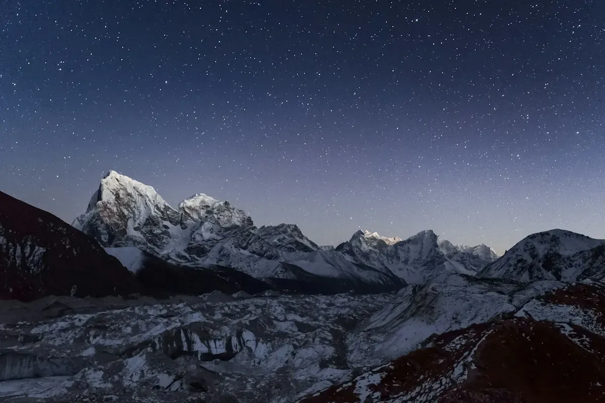
Main photo: Mount Cholatse above the Ngozumpa Glacier in the Gokyo valley, Nepal’s Everest region. Photo: Eugene Ga / UnsplashSources
- Ministry of Foreign Affairs of Nepal: Sagarmatha to the Sea, remarks by Foreign Minister Shisir Khanal (25 September 2026)
- The Kathmandu Post: Nepal seeks mountain-specific early warning systems after devastating flood (12 November 2026)
- The Kathmandu Post: Nepal’s push for Himalayan climate agenda falls short at COP31 (11 November 2026)
- The Kathmandu Post: Nepal urges climate justice for Himalayas at COP31 (10 November 2026)
- The Kathmandu Post: Nepal pitches Sagarmatha to Sea alliance ahead of COP31 (6 October 2026)
- Onlinekhabar: Govt plans to lower water levels in four glacial lakes, expand flood early warning systems (1 November 2026)
- Nepal News: Bhote Koshi flood, a 360-degree look at causes, casualties and losses (15 September 2026)
- Nepal Economic Forum: The Bhotekoshi Floods and the Price of Climate Finance Delay (21 September 2026)
- World Bank: Statement on Catastrophic Floods in Nepal (23 September 2026)
- Mongabay: During Nepal floods, decentralized, community-based warning saved lives (3 September 2026)
- The Kathmandu Post: Nepal sent its disaster alert 38 minutes after the glacier collapse (2 September 2026)
- UNDP: Nepal floods hit vulnerable communities (1 September 2026)
- ICIMOD: Kyirong-Rasuwa Flood 2026
- The Kathmandu Post: Nepal seeks answers on flash flood as India, China, US and World Bank offer support (26 August 2026)